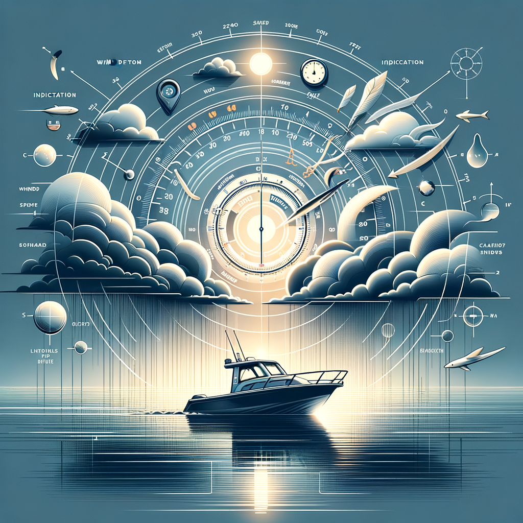

In the realm of marine navigation, the ability to use a compass and chart effectively is a critical skill that ensures safe and efficient travel across water bodies. A journey on water surfaces is vastly different from driving on roads; it requires a keen sense of direction and a detailed understanding of your environment. Historically, sailors have relied heavily on these tools to navigate through fog, darkness, or even featureless expanses of ocean with no land in sight. This article provides a comprehensive guide on how to use a compass and chart for marine navigation. By understanding these fundamental aspects, you can avoid various maritime hazards and reach your destination reliably and safely.
Charts and compasses remain indispensable tools for mariners despite advances in GPS technology. Electronic systems can fail, leaving you to depend on these traditional methods. A compass, which helps you discern direction by indicating magnetic north, and a nautical chart, which offers a scaled-down representation of maritime regions, are your mainstays at sea. Together, they allow vessels, from small boats to giant ships, to move from port to port effectively.
Whether you are an aspiring sailor or an experienced mariner looking to brush up on your skills, understanding the principles of these tools is crucial. This piece will delve into various kinds of compasses and charts and explain how they work in concert to provide accurate navigation. Let’s embark on this journey to become adept at using these timeless instruments for marine travel.
Understanding the Marine Compass
First and foremost, understanding the marine compass is essential for navigation. A marine compass is specifically designed to handle the rigors of a marine environment. It differs from a regular land compass, primarily because it is built to remain steady despite the motion of the water. The technology behind marine compasses allows them to offer accurate directional readings. Invented centuries ago, the compass uses a magnetized needle that aligns itself with the Earth’s magnetic field, pointing toward magnetic north.
There are several types of marine compasses, with the magnetic compass being the most notable. Built with a magnetic needle, this traditional compass type operates without batteries. Another variant is the fluxgate compass, which uses electronic sensors to determine direction. It offers increased accuracy compared to the magnetic compass but requires a power source. Whichever type you choose, understanding its basic functionalities and limitations is crucial for proficient use.
Setting up and calibrating your compass is the next step, a process known as compensating the compass. This involves adjusting for any errors caused by nearby metal objects or electrical fields within the vessel. Professional setup can greatly reduce such deviations. Regardless, always remembering to check and recalibrate your compass periodically is a practice that can’t be overlooked.
Nautical Charts and Their Importance
Nautical charts are indispensable for anyone venturing out to sea. Unlike a regular map, a nautical chart provides detailed information about the water body you are navigating. It features data such as depths, sea floor characteristics, navigational hazards, and maritime infrastructures like ports and lighthouses. Beyond basic geography, these charts are integrated with information relevant to safe maritime operations.
The charts come in various scales, with some offering detailed close-ups of harbors and coastal features while others cover extensive oceanic expanses with less specific detail. Selecting the right scale is crucial, as detailed charts are necessary for navigating near coasts or entering ports, and larger-scale ones are used for long ocean crossings.
Reading a nautical chart can be complex, initially requiring familiarity with standard symbols and measurements such as soundings, contours, and tidal information. The legend and notes on the chart are invaluable for interpretation, ensuring a smooth and hazard-free journey. Underestimating the complexity of a body of water based on inadequate chart study could result in navigational errors.
Plotting a Course with Chart and Compass
Plotting a course effectively with a chart and compass begins with understanding your current location. This is your starting point or position fix. Mark it clearly on the chart using a pencil, enabling adjustments or corrections as needed. From here, you need to draw lines to your intended destination, considering water depth, currents, and other navigational concerns. Dead reckoning is a skill you’ll develop, where you predict future positions based on speed and course, considering these factors.
Next, set your compass to the desired course direction, aligning the lubber line on your compass with your updated heading. Remember that courses on a nautical chart are plotted in true north, while your compass reads magnetic north. The difference between these is called magnetic variation. Adjust for this by adding or subtracting the variation from the true course to find the magnetic course you will follow.
Evidently, combining the compass and chart reading skills is vital. Regularly checking against landmarks or soundings ensures that you are on track, especially in coastal regions with many navigational hazards or in areas with shifting sandbanks and narrow channels.
Overcoming Common Challenges
Weather conditions and technical issues can present challenges when navigating with a compass and chart. Inclement weather may obscure landmarks or change the usability of certain charts, compounding difficulty. Practicing in varied conditions, understanding your vessel’s own limitations, and ensuring alternative plans are in place contribute to overcoming such challenges.
Understanding spatial awareness and using augmented navigation tools like depth finders or RADAR can augment your primary methods. As the conditions are unpredictable, always have backup strategies approved in case primary navigation methods are compromised.
Routine practice in varied conditions solidifies these skills. Training exercises elevate proficiency, reinforcing the less frequently referenced skills such as adjustive recalibration or reciprocal navigation. Regular navigation reviews keep your knowledge fresh, preparing you comprehensively for challenges on water.
Conclusion
Mastering the use of a compass and chart is essential for effective marine navigation, whether you’re an adept sailor or a novice mariner. Navigation remains a combination of art and science, requiring understanding, constant practice, and vigilance in various environments. The compass and chart together create a navigation system that’s both reliable and informative, against which even modern technology can occasionally fail to compete.
Safety at sea is of paramount importance, and the traditional skills in navigating with a compass and chart form the backbone of risk management on water. They offer a tried and tested method of navigation that, when used correctly, can guide you safely across expansive and challenging waterways.
In summary, while modern technology has introduced new conveniences, the fundamental skills of using a compass and chart cannot be ignored. Equipped with this knowledge, every mariner stands prepared to navigate confidently. As you develop these skills, you pave the way for safer voyages and more experiences at sea.
Commit to continuous learning and practice in marine navigation, and you’ll unlock full appreciation of the wonders and challenges navigational journeys have to offer. Embrace tradition while respecting the modern, and set your course true as you explore the world’s vast waters.
Frequently Asked Questions
1. How do I use a compass for marine navigation?
Using a compass for marine navigation is a longstanding skill that’s both an art and a science. Begin with understanding the basic parts of a compass: the housing, the dial with degree markings, and the needle. The compass needle aligns itself with Earth’s magnetic field, always pointing towards magnetic north. When aiming to navigate using a compass, the first step is to set your intended course on a chart. Match your compass heading to the charted course by holding the compass level and rotating your body until the compass needle aligns with the north mark on the compass housing. This marks your direction of travel. It’s crucial to keep the compass away from metal objects or electronic devices that could interfere with its accuracy. Practice often to build confidence and familiarity, using the compass alongside visual landmarks as you get used to reading it while moving.
2. What is the difference between true north and magnetic north?
True north refers to the direction along the earth’s surface towards the geographic North Pole, while magnetic north is the direction the needle of a magnetic compass points, influenced by Earth’s magnetic fields. The angle difference between these two, known as declination, varies depending on your location on the globe. Over time, this angle can shift due to changes in Earth’s magnetic field, which is why charts include this information. For accurate navigation, it’s essential to account for this difference by correcting your compass course with the local magnetic declination. Most marine charts have this information updated and noted, so always check your current chart.
3. How do I read a nautical chart?
Reading a nautical chart is a fundamental skill for mariners. Start by familiarizing yourself with the chart’s legend, which explains symbols and abbreviations used. Charts represent water regions, showing surface features like buoys, and underwater contours types, depths, and hazards including rocks, sandbars, or shipwrecks. Colors denote water depth, with blue usually indicating shallower areas. Lighthouses, harbors, anchorages, and other shore-side features important for marine navigation are marked too. Use the compass rose on the chart to align your compass direction to the correct navigational heading. Pay careful attention to scale, which can vary greatly, determining how detailed the chart is. Practicing reading charts and planning routes with them alongside using a compass will greatly improve your navigation skillset.
4. How do I plot a course on a marine chart?
Plotting a course on a marine chart involves a few essential steps. First, determine your starting point and destination by identifying key landmarks and coordinates. With these points, use a parallel ruler or plotter to draw a line representing your course. Keep your chosen route safe by ensuring you avoid any hazards or shallow waters marked on the chart. After marking the course, note the compass headings necessary to follow each course segment, adjusting as needed for magnetic declination. Double-check this against the chart’s compass rose. It’s also advisable to calculate and note time and distance between course changes for better management during travel. Understanding the environmental factors like currents and wind patterns, which might affect your course, is crucial for precision in real-time navigation.
5. Why is it important to frequently update my charts and compass corrections?
Staying up-to-date with your charts and compass corrections is vital for accurate navigation and safety at sea. Marine environments are dynamic; shoals shift, new structures are built, and navigational aids are sometimes repositioned or updated. Therefore, charts are regularly revised to include new data and updates about local magnetic declination. Using updated charts ensures that you have the latest information, crucial for avoiding hazards and planning efficient routes. Similarly, compass corrections, specifically local magnetic declination, change over time due to magnetic field shifts. Keeping your compass adjustments current ensures that your heading stays true and your navigation remains precise, minimizing navigational errors and promoting safe travel. Regular updates are a best practice in marine navigation, ensuring you’re prepared for every leg of your journey.